Hello to my new subscribers who came from the Columbus subreddit! Thanks for joining this little thing I’m doing in an effort to stay relatively sane. 😄
Let’s start off with the new record on Sunday: 30 straight days with a low of 66 or warmer, the longest such streak we’ve had.
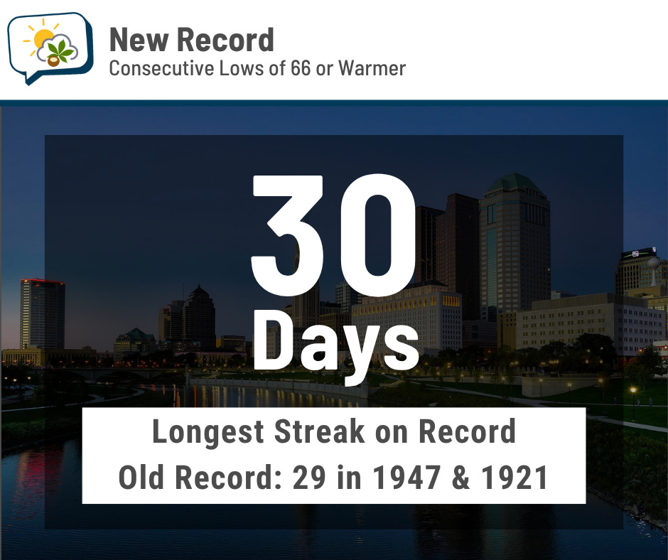
Since I finish these newsletters off the evening before publishing, I won’t know if we stayed above there through midnight last night to make it 31 days. I’ll plan on putting something on my Bluesky today about it.
The 614cast
Today’s tl;dr
☀️ Sunny, comfortable humidity, high in the mid-80s.

Forecast highlights
🥇 Another great day
Yesterday’s weather: Great. Today’s weather: Also great.
This morning is our coolest start in over a month, and the weather will be super all day: Sunshine, reasonable humidity again, high in the middle 80s. (If it were like 10 degrees cooler, I’d say the day would be just about perfect, but beggars can’t be choosers.)
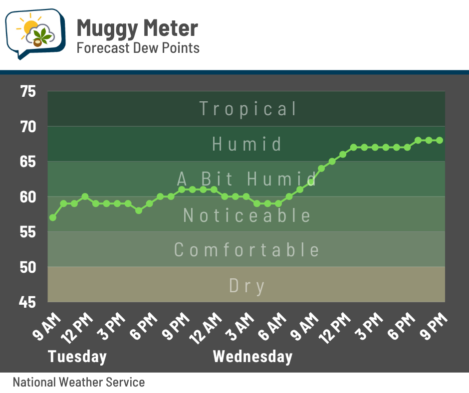
Even tomorrow morning will feel fine. Notice, though, the steady climb in the mugginess values throughout the day. Yeah, the seasonably humid weather comes back tomorrow afternoon and stays around for a while again.
🔥 Warmth returns and persists
The warmest day this week is Thursday when we hit the lower 90s and heat indices peak in the upper 90s.
Our average high is in the mid-80s, and we should be around or above that for the foreseeable future. The Climate Prediction Center’s outlook that runs from this weekend through the middle of next week shows a high likelihood of warm weather across much of the country.
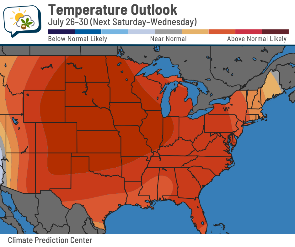
This won’t be record-challenging heat either here or more broadly, but it’s a reminder that we are still very much in summer, despite the little reprieve we’re currently in.
🌧️ Rain chances into the weekend
After a handful of dry days, periods of rain return Friday through the weekend. The timing will depend on when this warm ridge of high pressure breaks down and a weak front manages to push into the state.
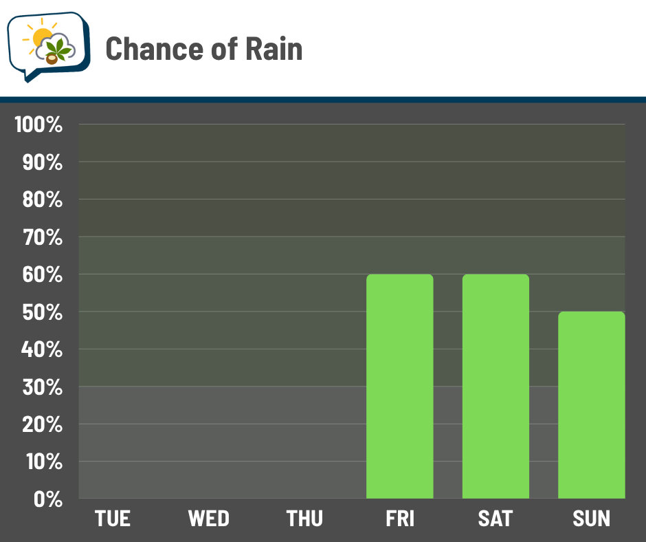
As we get closer, I’ll hopefully have a better sense of what parts of each day will have elevated chances of rain. The severe thunderstorm potential is quite low as it stands now, as those ingredients are lacking.
📊 Today’s almanac
Normal low/high: 66 / 85
Record low/high: 50 (1966) / 104 (1901)
Sunrise/set: 6:21 a.m. / 8:54 p.m.
🌌 Look up and see some planets
With the clear sky and not-feeling-sticky weather, spend a few minutes looking up at the night sky tonight or tomorrow morning.
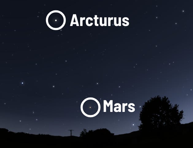
Just above the western horizon this evening, you’ll spot Mars. Here’s a simulated view at 10 p.m. tonight… note that star and planet brightness/size are exaggerated in all of the following images.

Look up and left from Mars, and you might spot Arcturus. This orange giant star is 7 billion years old — older than our solar system. It’s about 36 light years away, so the light you see started its journey when The Cosby Show and Rosanne were top-rated primetime TV.
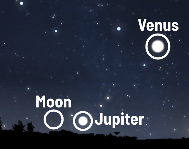
If you’re an early riser, gaze toward the east near the setting almost-new moon at 5 a.m. tomorrow. Jupiter will be to its right, with bright Venus a tad higher and to the right.
🌭 Bonus weather weenie content
-
Number of missing plummets to 3 in hard-hit Kerr County in wake of Texas floods (NBC News)
-
How a California cloud-seeding company became the center of a Texas flood conspiracy (Los Angeles Times)
-
Study: Winter jet stream was erratic before climate change (Dartmouth College)