The 614cast
Today’s tl;dr
🌦️ Partly cloudy with stray showers/storms, high in the mid-80s.

Forecast highlights
💧 Spots of rain, but no guarantees
A cold front crosses Ohio today, which should produce some shower and thunderstorm activity. However, it still appears this will be pretty scattered. Here’s an animation of forecast radar from one high-resolution computer model:
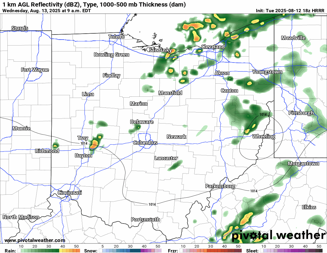
Yeah, not much going on. But with fairly weak winds aloft and plenty of moisture (for now), a brief and localized heavy rain will be possible.
The best ingredients for storms shift south of I-70 in the afternoon.
😊 Brief relief
Today’s still humid with dew points hanging out near 70, but temperatures will be lower — a high in the mid-80s looks like a solid bet.
The mugginess does drop behind the cold front for a few days, starting tomorrow:
Humidity will rise again later this weekend into next week, as will the temperatures. With highs going back around 90 after a few days in the 80s, summer isn’t going anywhere just yet. Enjoy the little break from this round of heat.
📊 Today’s almanac
Normal low/high: 65 / 85
Record low/high: 48 (1967) / 98 (1936)
Sunrise/set: 6:42 a.m. / 8:30 p.m.
💤 Dearth of alerts
Yesterday, I shared that this has been an exceptionally dry start to August. It’s not just a lack of rain, though… we’ve had a lack of any impactful weather.
This Gantt chart of weather alerts in Franklin County over the past month shows that things have been pretty quiet since the end of July.

A few weeks ago, we were dealing with some heat and active weather that produced heavy rain and flash flooding. But since the heat advisory that ended the evening of July 29, it’s been crickets around here.
🌭 For the weather weenies
-
Glacier outburst flood begins on Mendenhall River in Alaska (Balanced Weather)
-
Urban trees vs. cool roofs: What’s the best way for cities to beat the heat? (The Conversation)
-
Feel sticky this summer? That’s because it’s been record muggy East of the Rockies (Associated Press)