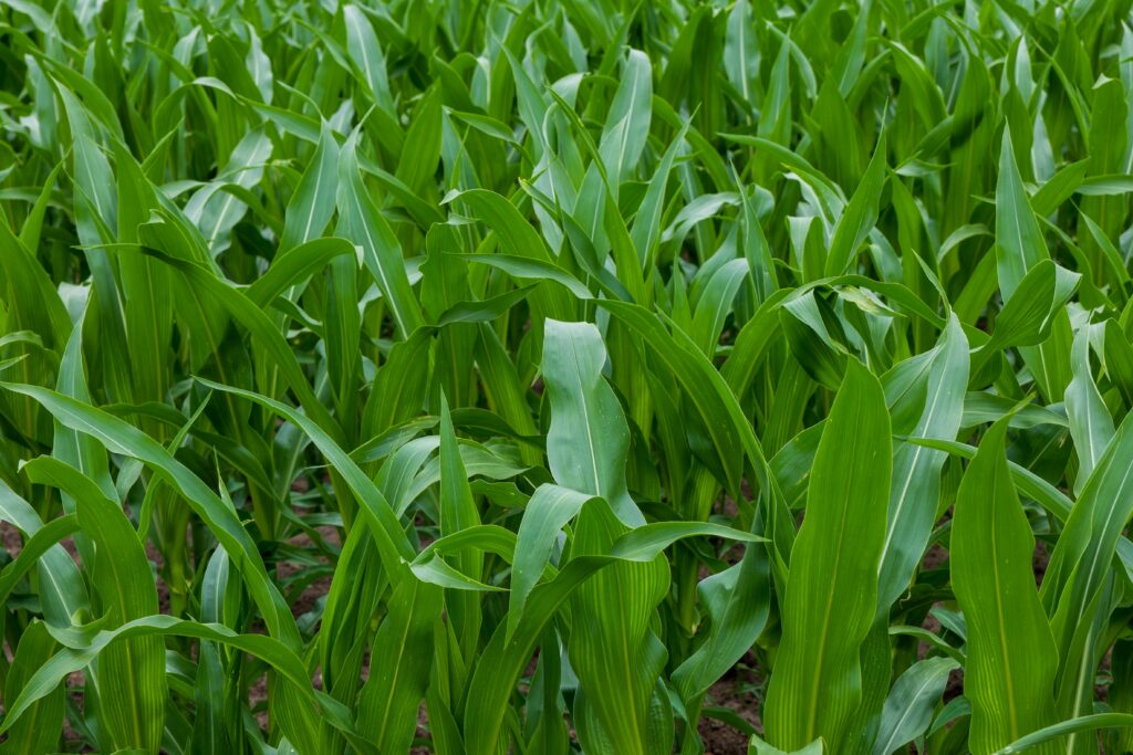
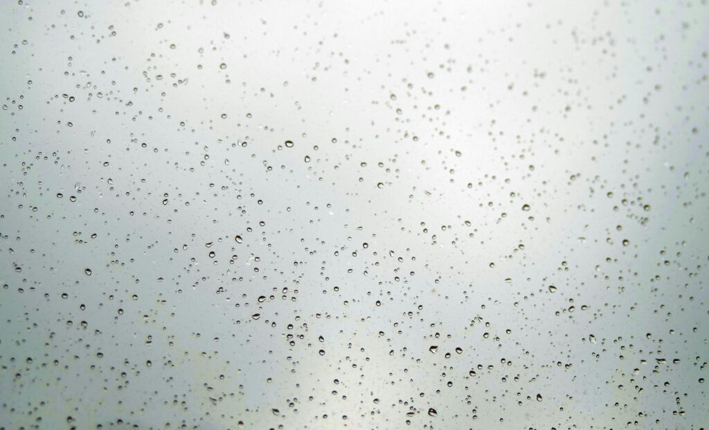
Rain chances taper as warm weather rolls on

The 614cast Tuesday tl;dr 🌦️ Mostly to partly cloudy with spotty showers/few storms, high in the middle 80s. (Giphy) Forecast highlight 💧 Today’s the last decent rain chance for a while A cold front pushes across Ohio today, and its timing keeps us in a chance of showers and a few thunderstorms. The highest chance […]

A few more storms, then feeling (slightly) better

The 614cast Monday tl;dr 🌦️ Partly cloudy with “popcorn” storms again, high in the middle to upper 80s. (Giphy.com) Forecast highlight ⚡ One more day of pop-up storms Scattered storms have blossomed every afternoon and evening the past several days, and today will be no exception. Some spotty activity is possible in the morning, but

Heat wave lasts all week

📺 Programming note: Because of time constraints and limited internet access, this will be the only newsletter this week. The 614cast Monday tl;dr 🥵 Sunny and hot, high in the middle to upper 90s with a heat index topping out near 105. Giphy.com Forecast highlights 🔥 Dangerously hot and humid all week The heat continues

A fair Friday is followed by sweltering heat

The 614cast Friday tl;dr 🌤️ Mostly sunny in the morning then partly sunny, high in the middle to upper 80s. Giphy.com Forecast highlight 🥵 Hot. Humid. Summer begins today, and yikes is it going to feel like it very soon. Today will be warm but quite tolerable, though, since the mugginess won’t be out of

Finishing the week OK before the heat takes over

The line of storms last night produced a 56 mph wind gust at the OSU Airport at 7:59 p.m., just short of the official severe wind threshold of 58 mph. Severe thunderstorm warnings (yellow) stretched across a good share of the state as of 9:15 p.m. last night, and a few places to our north

Strong storms possible later this evening/tonight

The 614cast Wednesday tl;dr ⚡ Partly cloudy with isolated showers/storms; more near or after sunset. High in the mid-80s. Giphy.com Forecast highlights ⛈️ Tonight’s storms could be strong The Storm Prediction Center bumped up our severe weather chances with the storms that come through late this evening into the overnight hours. There are still questions

No, the rain chances aren’t done yet

The 614cast Tuesday tl;dr 🌧️ Occasional showers and storms, high in the lower 80s. Giphy.com Forecast highlights ⚡ Periods of storms, a few could be heavy & strong Most of us escaped rain during the daytime yesterday, although we’ll have showers and storms still scattered about the area today. Rain chances drop off later this

This week looks and feels like summer

Not everybody got in on downpours this past weekend, but those who won’t feel the need to water their garden for a while. A small chunk of eastern Franklin County even had a flash flood warning Saturday evening. You can see just how localized the heavier stuff was: Iowa Environmental Mesonet The 614cast Monday tl;dr

Unsettled weather ahead, but not all-day washouts

📺 Programming note: Starting with the next newsletter on Monday, I’m moving to a morning publication time rather than early evening. The 614cast Weekend tl;dr ☂️ Scattered showers/storms (mainly afternoon and evening), humid, highs close to 80. Forecast highlights 🚫 No guarantees for totally dry days The weather pattern for the next six days or

Scroll to Top