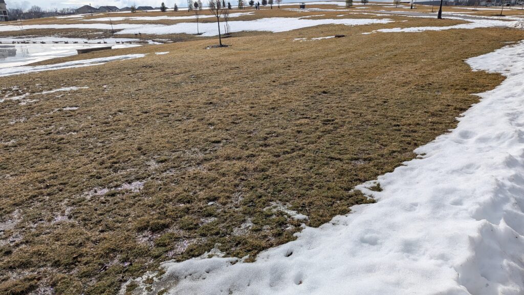
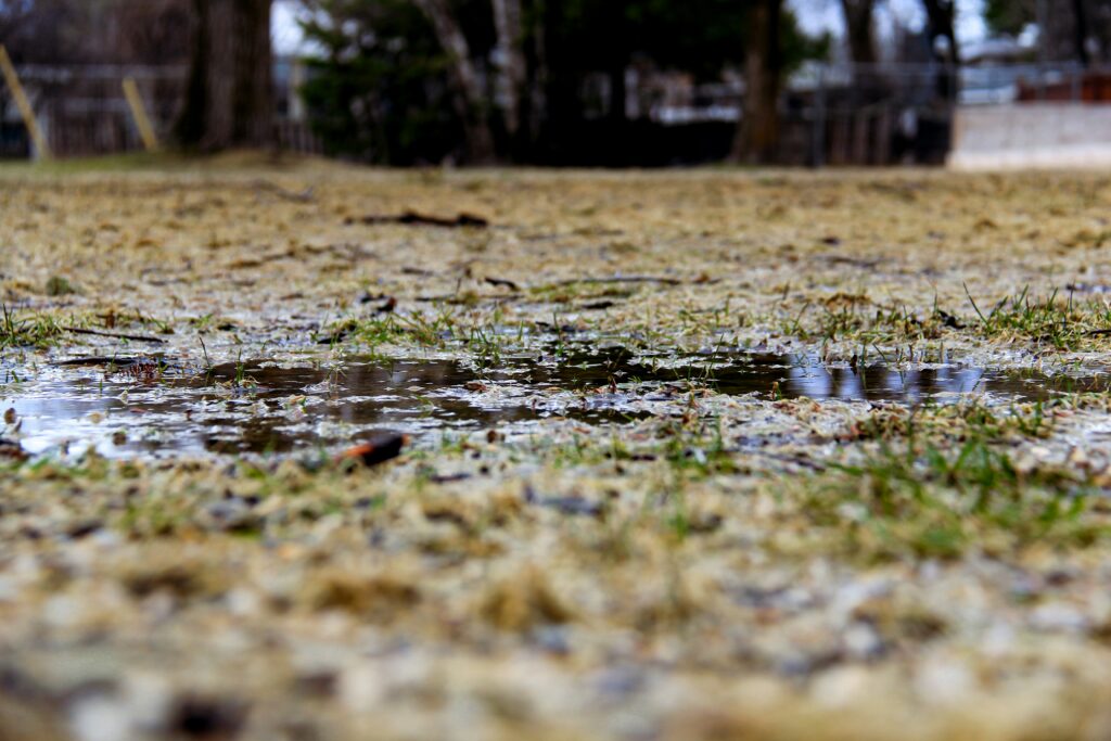
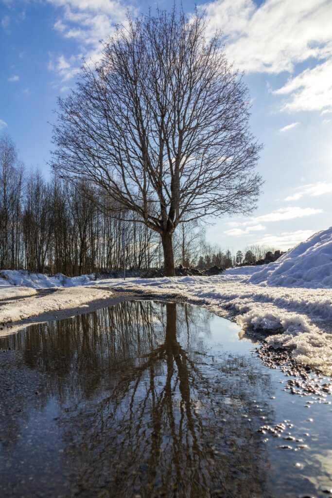
Soggy week ahead

The 614cast Monday’s tl;dr ⛅ Cloudy in the morning with a chance of light snow, then partly cloudy. High in the mid-40s. (Giphy) Forecast highlights ☔ Wet weather pattern There’s plenty of rain to talk about, but first things first. If you don’t want any more snow, you’ve been lucking out lately. Yet another system […]

Our weather’s all over the place

Short newsletter this time… played Stardew Valley with the kid this evening. 🧑‍🌾 The 614cast Thursday’s tl;dr 🌤️ Clouds early then turning sunny, high in the mid-40s. Much lighter wind. Forecast highlights 😵‍💫 Topsy-turvy temperatures While Thursday will be a bit cooler than Wednesday was, the wind will be so much lighter. Considering that and

Temps creep upward; watching Thursday for rain/snow

As I write this, a blockbuster nor’easter is moving up the East Coast and will produce blizzard conditions, heavy snow, and coastal flooding in parts of that region. This page will be collecting cool satellite imagery from the event. The 614cast Monday’s tl;dr ☁️ Mainly cloudy, chance of occasional flurries, high in the lower 30s.

Rain/storms before a brief chill

We were one degree shy of tying the record high of 66° on Wednesday. It was the warmest day since January 9, when we also hit 65°. The 614cast Thursday’s tl;dr ⛈️ More clouds than sun with showers/storms developing later, high in the lower 60s. (Giphy) Forecast highlights ⚡ Low-end severe risk accompanies rain You

A welcome taste of spring this week

It’s as though a flip got switched. We’re in the beginning of what will be at least a nine-day stretch with highs of 40 or warmer — the longest such streak since November. The 614cast Monday’s tl;dr ⛅ Fog and clouds early, then some clearing in the afternoon. High around 50. Forecast highlights 😶‍🌫️ Foggy

Feeling more like March very soon

The 614cast Thursday’s tl;dr 🌥️ Partly to mostly cloudy, high in the lower 30s. (Giphy) Forecast highlights 🌷 Spring preview Well, I was premature or pessimistic when I said I didn’t see a bunch of 40s and 50s around the corner. That’s exactly what we have coming up as the pattern finally changes to support

This week will be the warmest in nearly a month

The streak of having at least 6” of snow on the ground ended on Friday at 12 days. Only five instances have been longer. Also! Sunset on Monday is at 6:00 p.m., the first time since November 1 (the day before daylight saving time ended). And from March 7 to March 8 — less than

The winter cold eases after the weekend

Wednesday’s official snow depth was still 7”, the 10th straight day with at least that much. That’s now a tie for third-longest stretch with that much snow on the ground, matching January 19–28, 1985. Second place is 12 days, from February 10–21, 2010. First place is a big yikes: 32 days, from January 10–February 10,

Winter weather rolls on to start February

Columbus officially got past 20° on Sunday, which means our streak of highs below 20° ended at eight days. That ties the longest streak on record, which occurred in both 1893 and 1899. But even with the continuously cold temperatures, the snow depth has been decreasing. There are two reasons for that: the snow settles

Scroll to Top